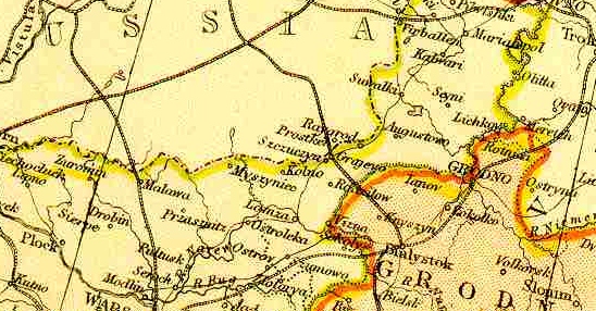
Map of the Region, 1882
From Comprehensive Atlas and Geography of the World, Blackie and Sons, 1882, Edinburgh, Scotland Courtesy of FEEFHS, Federation of East European Family History Societies
Wizna was about 25 miles to the East of the Prussian/Russian border

 Return to